


Covering 400,000 square miles at the southern end of South America, Patagonia is quite literally the end of the earth. The vast region has coasts on three oceans, is divided between Chile and Argentina by the Andes Mountains, and includes the archipelago of Tierra del Fuego, which extends into the Southern Ocean just 1,000 km north of Antarctica.
Chilean Patagonia is known for its jagged peaks and glacial fjords. It’s one of the last truly wild places on Earth, and more than one explorer has entered the region never to return. But its beauty continues to lure would-be adventurers, and traveling there is half the fun.
Southern Chile is largely uninhabited. Its rocky coastline, dense forests, and frozen ice fields are home to more horses than people, and travel by 4×4, kayak, or on foot is the best way to explore. This is a trekker’s paradise, and you’ll find plenty of companies offering guided trips into Torres del Paine national park, where new adventures are only a step away.
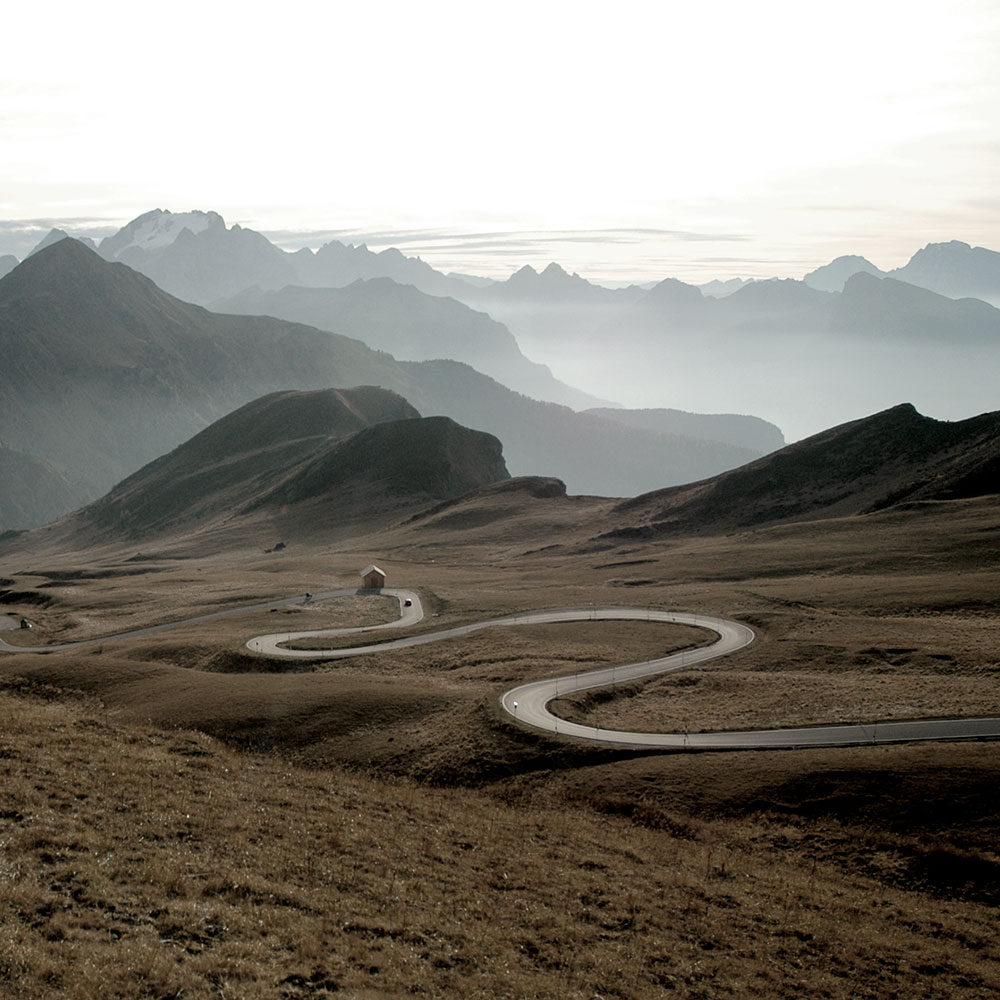
Insider Tip: Completed in 2018, the Carretera Austral is an all-weather roadway that runs through the Patagonia National Parks Network, a 2,400 km stretch that includes 17 national parks.
Fun fact: The glaciers in Chile make up 80% of the glacier coverage in South America, and the most beautiful ones can be found in San Rafael National Park.

